You want to gain a deeper understanding of digital map creation solutions and other GIS products, provided by ESRI?
Quantum-Systems invites you to the upcoming ESRI Conference and gain additional insights to accelerate your business!
Sounds challenging? Let’s jump into more details:
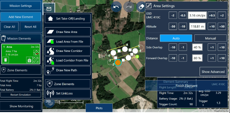
Are you an advanced user of ArcGIS products? Do you want to accelerate your GIS business with ESRI? As a case study, we would like to present you our mission planning software – QBase3D
With the QBase3D you can manage a large number of maps worldwide in 2D and 3D thanks to ArcGIS Online World. everyting necessary for your application in one program.

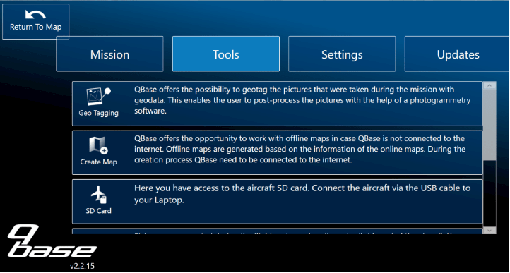
Make use of your spatial skills with QBase3D by geotagging the objects just in a few few minutes after the drone flight. With ArcGIS RunTime you can manage your recorded data without any time wasted.

Enjoy our powerful tool for the fully automatic drone flight – QBase3D!
More details about ESRI Conference you can find here. If you need further information, feel free to contact us


